

Book Tickets Online
About
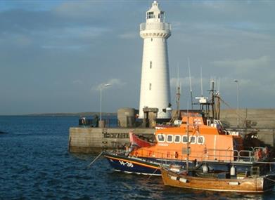
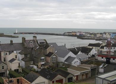
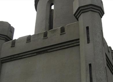
This urban walk provides an opportunity to learn more about the buildings, monuments and streetscapes which have given the town its historical character.Millisle Beach is a nearby attraction.
Start Point:
J594799
Finish Point:
J594799
Route:
The route meanders around the buildings, monuments and streetscapes which have given shape to the town. The walker can enjoy the history of the town and also enjoy the extended walking trails included in the guide. A full description and historic information is provided in the Donaghadee Walking Guide leaflet.
Distance:
1.5 miles
Terrain:
Town centre footpath.
Point of interest:
Monuments and buildings in the town
Facilities:
Toilet and refreshment facilities are accessible around the town.
Publication:
Donaghadee Walking Guide
Publication availability:
The walking guide is available from Newtownards or Portaferry Tourist Information Centre Tel. 028 9182 6846 and can be downloaded from www.visitstrangfordlough.co.uk. An accompanying podcast is also available to download from the website.
Nearest town:
Donaghadee
OS map:
Sheet 15
Accessible toilet facilities:
Yes
Accessible terrain:
Footpaths and slight incline to climb
Accessible signage:
A copy of the Donaghadee Walking Guide is required to complete the tour.
Book Tickets
Facilities
Provider Preferences
- Free (parking charges may apply)


