

Book Tickets Online
About
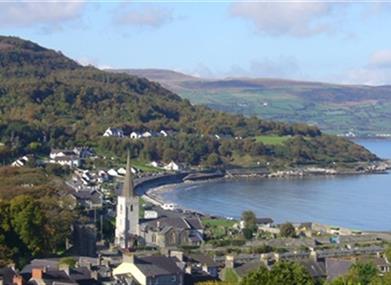
From the coast, the walk goes along selected streets of this village where buildings date back to the 1600's. The steep streets lead ultimately to the Layde Path. From here there are great views of the village and the bay, Carnlough Beach and the Irish Sea. Dogs should be on a lead or under the control of the owner.
Start Point:
D311154
Finish Point:
D311154
Route:
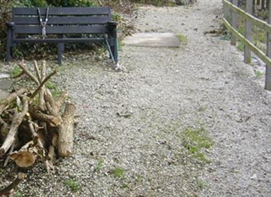
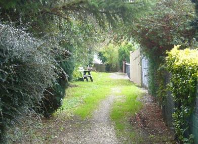
From the car park beside the shore, go over the bridge over the river, turn right at the junction and go through the village passing Steenson's Silversmiths on the left. Here, take the road on the left, The Vennel, with patterened stone path and proceed uphill. Just at the point where the houses end, the Layde Walk goes to the left going off the road. This stoney path is the highest point and there are seats to rest. Follow this path to the country road and proceed downhill to the main road. Turn left through a stoney path beside the road and on reaching the road cross over to come back to the bridge over the river and the car park.
Distance:
2 miles
Terrain:
On and off-road, steep
Point of interest:
The Barbican Gate of Glenarm Castle
Facilities:
Toilets are available in the car park. The village has shops and pubs.
Publication:
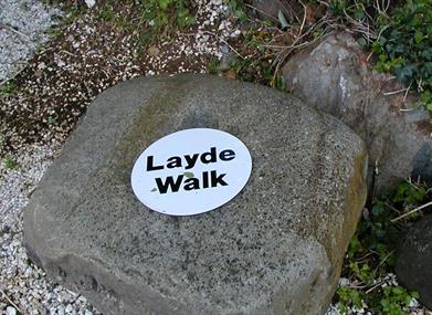
Larne Country Walks - Walk No 4.
Publication availability:
Available to download on this page.
Nearest town:
Glenarm
OS map:
Sheet 9
Accessible toilet facilities:
Yes
Accessible terrain:
Steep streets and surfaced path.
Book Tickets
Facilities
Provider Preferences
- Free (parking charges may apply)


