

Book Tickets Online
About
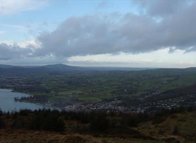
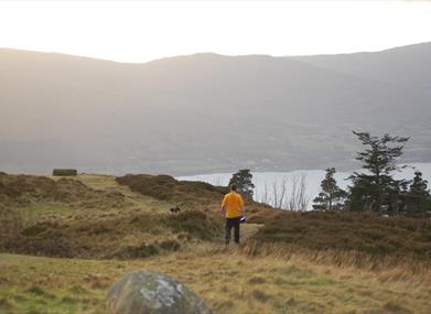
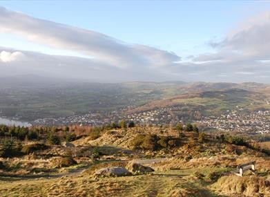
The Cloughmore car park is 230m above sea level and provides views of the surrounding forest. There are three waymarked trails, which vary in length from 1.25 miles to 4.5 miles, and take the visitor to various areas within the forest to enjoy the many magnificent views and beauty of the woodlands.The area has been declared a National Nature Reserve and more recently an Area of Special Scientific Interest.
Start Point:
J195174
Finish Point:
J195174
Route:
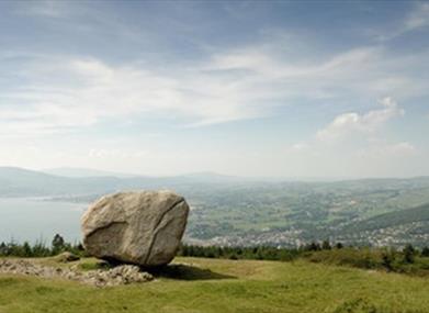
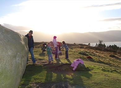
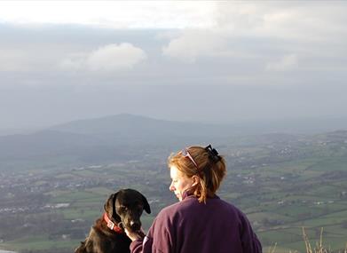
From the car park follow the signs up a steep hill to the Cloughmore Stone. There are great views from here over Carlingford Lough. From here retrace your steps back to the car park. These walks are situated in a working forest environment and may be subject to diversion and closure from time to time. Up to date information is available on the Forest Service web site - link below.
Distance:
0.4 (One Way) miles
Terrain:
Moderate, steep in places
Point of interest:
Views of Mourne Mountains, Cloughmore Stone
Facilities:
Car parking and picnic facilities, refreshments and toilets are availble at Kilbroney park.
Nearest town:
Rostrevor
OS map:
Sheet 29
Accessible toilet facilities:
Yes
Accessible terrain:
No. Off-road paths, very steep in places. Gate at the start of the walk.
Book Tickets
Facilities
Provider Preferences
- Free (parking charges may apply)


